| Home | > | List of locations | > | Inhamitanga Forest, Sofala | > | image1 |
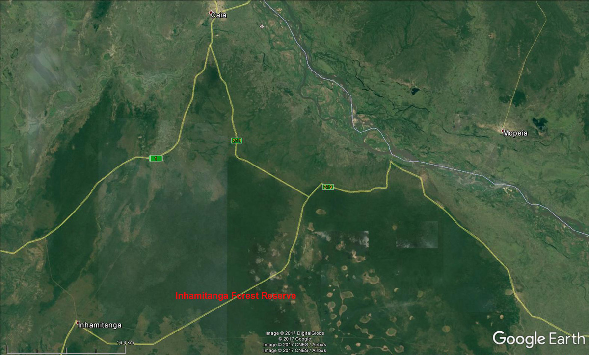
Inhamitanga Forest, Sofala: image 1

| Photographer : | Google Earth |
| Date: | 27 Jun 2017 |
| Description: | Map of Inhamitanga - Caia region. |
| Altitude: | 200 |
| Grid reference: | |
| Latitude, longitude: | -18.189114 35.358455 |
| Home | > | List of locations | > | Inhamitanga Forest, Sofala | > | image1 |